


Riuferrer

patbt
User
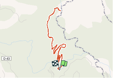

Length
7.2 km

Max alt
808 m

Uphill gradient
296 m
Km-Effort
11.1 km

Min alt
560 m

Downhill gradient
298 m
Boucle
Yes
Creation date :
2021-10-10 10:30:02.182
Updated on :
2021-10-12 18:41:18.718
3h15
Difficulty : Very easy

FREE GPS app for hiking
 SityTrail
IGN / Geographical institutes
SityTrail Plus
The world is yours!
About
Trail Walking of 7.2 km to be discovered at Occitania, Pyrénées-Orientales, Corsavy. This trail is proposed by patbt.
Positioning
Country:
France
Region :
Occitania
Department/Province :
Pyrénées-Orientales
Municipality :
Corsavy
Location:
Unknown
Start:(Dec)
Start:(UTM)
465547 ; 4702694 (31T) N.
Comments