


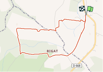


6 km | 7.4 km-effort


User


FREE GPS app for hiking
 SityTrail
IGN / Geographical institutes
SityTrail World
The world is yours!
Trail Walking of 5.3 km to be discovered at New Aquitaine, Gironde, Roquebrune. This trail is proposed by Briarwood.
Petit tour tranquille et facile pour une grosse heure de cardio-détente.
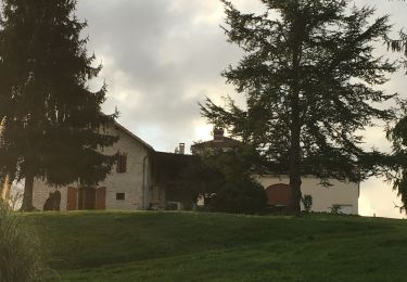
Walking
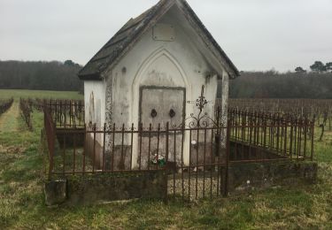
Walking

Walking
Walking
Walking
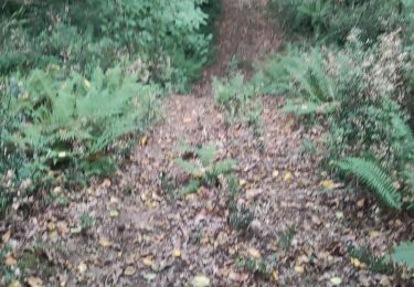
Other activity
Walking
Walking
Walking