


Les sources 12 févr. 2020

Nordic33
User GUIDE
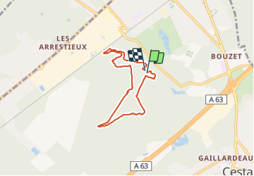

Length
6.2 km

Max alt
63 m

Uphill gradient
46 m
Km-Effort
6.8 km

Min alt
49 m

Downhill gradient
44 m
Boucle
Yes
Creation date :
2021-10-20 09:19:13.019
Updated on :
2021-11-14 09:41:47.619
--
Difficulty : Very easy

FREE GPS app for hiking
 SityTrail
IGN / Geographical institutes
SityTrail Plus
The world is yours!
About
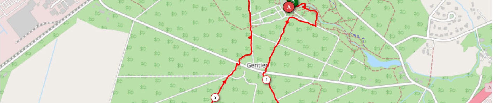
Trail Nordic walking of 6.2 km to be discovered at New Aquitaine, Gironde, Cestas. This trail is proposed by Nordic33.
Photos

Positioning
Country:
France
Region :
New Aquitaine
Department/Province :
Gironde
Municipality :
Cestas
Location:
Unknown
Start:(Dec)
Start:(UTM)
681482 ; 4958663 (30T) N.
Comments