


10.9 km | 12.6 km-effort

User GUIDE


FREE GPS app for hiking
 SityTrail
IGN / Geographical institutes
SityTrail World
The world is yours!
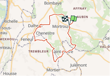
Trail Walking of 13.9 km to be discovered at Wallonia, Liège, Dalhem. This trail is proposed by mumu.larandonneuse.
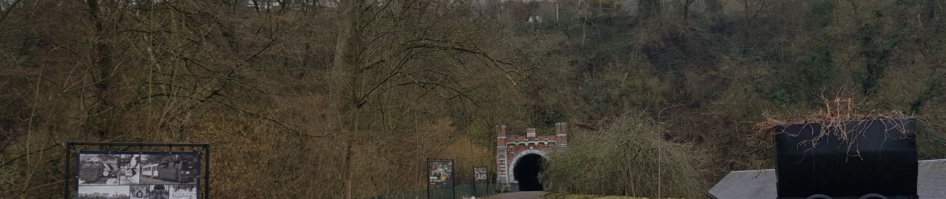
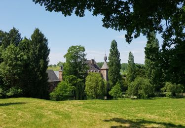
Au cours de cette randonnée avec des dénivelés considérables à travers le Pays de Herve, vous marcherez une partie facile sur des sentiers et des routes de campagne jusqu'à Dalhem. Via le tunnel ferroviaire illuminé, vous marchez sous la montagne et suivez une ancienne voie ferrée. Passé le hameau de Chenestre vous empruntez un beau chemin forestier jusqu'à Château Cortils et par une belle étendue à travers les prairies vous atteignez le village de Saint-André. Vous descendez à travers les prés jusqu'au ruisseau du Ru d'Asse puis vous remontez à travers la forêt du Bois de Mortroux. Vous traversez la Berwinne puis vous revenez au restaurant.
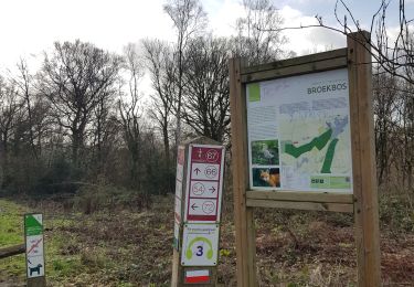
ℹ & Gpx sur www.wandelgidszuidlimburg.com n° 1397


Walking

Walking
Walking

Walking

Walking
Walking
Walking
Walking
Walking
Superbe parcours avec des vues à 360° sur les bocages du Pays de Herve. Faite avec Luna 🐕