


st Alexis

duchaine.nicolas
User

Length
18.3 km

Max alt
845 m

Uphill gradient
637 m
Km-Effort
27 km

Min alt
430 m

Downhill gradient
632 m
Boucle
Yes
Creation date :
2021-10-24 08:27:42.628
Updated on :
2021-10-24 09:50:54.913
1h22
Difficulty : Easy
1h22
Difficulty : Easy

FREE GPS app for hiking
 SityTrail
IGN / Geographical institutes
SityTrail Plus
The world is yours!
About
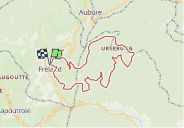
Trail Mountain bike of 18.3 km to be discovered at Grand Est, Haut-Rhin, Fréland. This trail is proposed by duchaine.nicolas.
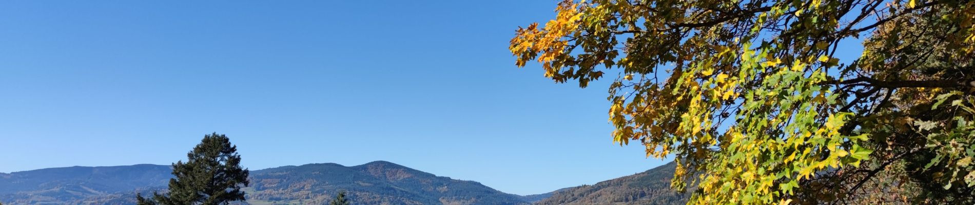
Photos


Positioning
Country:
France
Region :
Grand Est
Department/Province :
Haut-Rhin
Municipality :
Fréland
Location:
Unknown
Start:(Dec)
Start:(UTM)
365792 ; 5337174 (32U) N.
Comments