


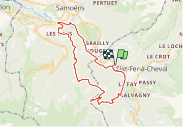

19.8 km | 37 km-effort

User GUIDE


FREE GPS app for hiking
 SityTrail
IGN / Geographical institutes
SityTrail World
The world is yours!
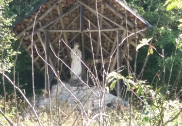
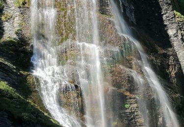
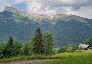
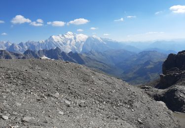
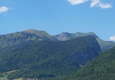
Trail Walking of 18.6 km to be discovered at Auvergne-Rhône-Alpes, Upper Savoy, Sixt-Fer-à-Cheval. This trail is proposed by Kargil.
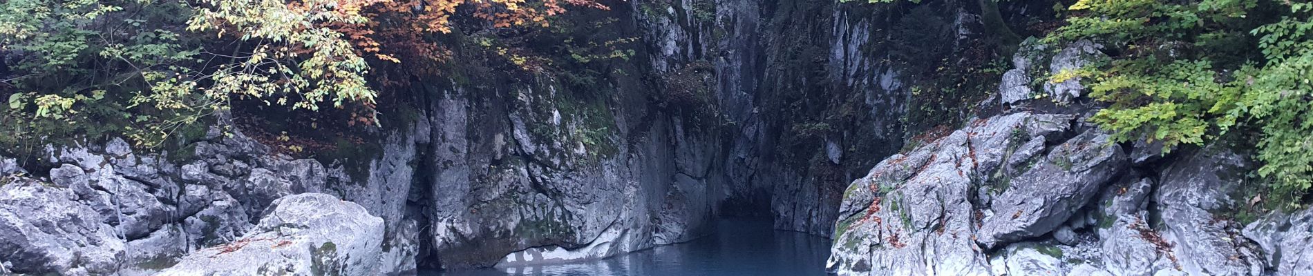
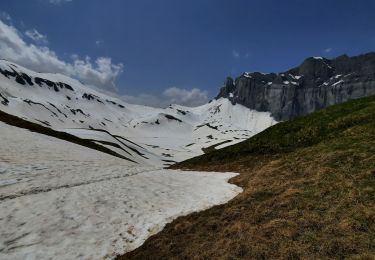
La difficulté est essentiellement dans les 8 premiers kilomètres entre anciennes gorges des Tines et dénivelé vers Gers.
Le parcours peut-être aisément allongé ou raccourci (Lac de Gers, pont de Lédedian, pont de Revé).
Fin octobre, la majorité du parcours est dans l'ombre.


Walking
Walking
Walking
Walking
Walking
Walking
Walking
Walking
Walking