
21 km | 25 km-effort


User


FREE GPS app for hiking
 SityTrail
IGN / Geographical institutes
SityTrail World
The world is yours!
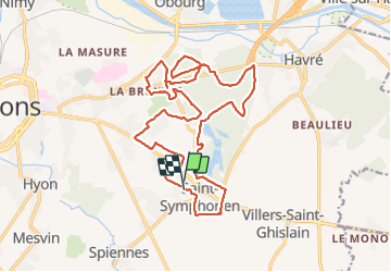
Trail Walking of 19.6 km to be discovered at Wallonia, Hainaut, Mons. This trail is proposed by Laetitia Lacomte.
Belle balade au départ de la place Saint-Symphorien dans l'entité de Mons.
Visite du cimetière militaire, lieu de sépulture datant de la Première Guerre mondiale.
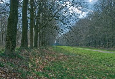
Le bois d'Havré, ce bois ne possède ni source ni ruisseau, mais une vaste zone marécageuse.
Le sol est fait de fougères et la forêt est dominée par une futaie sur taillis comprenant de nombreuses essences (chênes, frênes, merisiers, mélèzes, pins,...).
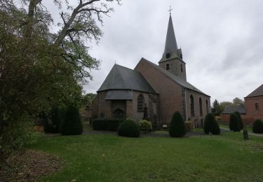
Vous pourrez aussi admirer l'église, le menhir néolithique, la cour du Baron, et le château de Saint-Symphorien, sans oublier le Hameau du Cerneau et la ferme des Sars.


Walking

Walking
Walking

Walking

Walking
Walking

Walking

Mountain bike