


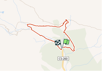

11 km | 21 km-effort

User GUIDE


FREE GPS app for hiking
 SityTrail
IGN / Geographical institutes
SityTrail World
The world is yours!
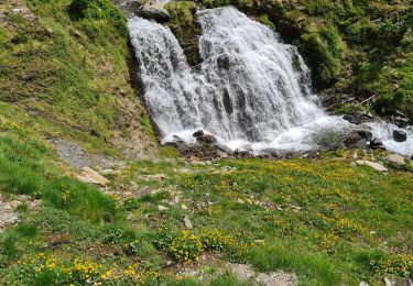
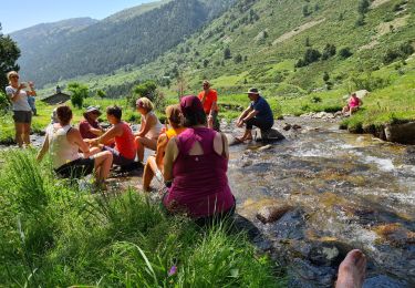
Trail Walking of 3.9 km to be discovered at Andorra. This trail is proposed by Nordic33.
2010_08_27
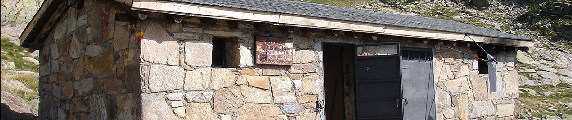
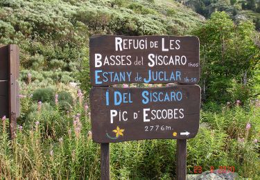
Il peut accueillir 10 personnes. Le refuge de Cabana Cóms de Jan est situé à 2 215 m d'altitude, tout près de la rivière de la Coma de Ransol. Il fut inauguré en 1981. C'est un refuge non gardé, ouvert toute l'année, mais généralement entretenu pendant les mois d'été (ménage, bois de chauffage, pharmacie...). Il dispose d'une cheminée et d'une fontaine à côté. Réseau de téléphonie mobile accessible. Le niveau de difficulté d'accès à pied jusqu'au refuge est moyen, il y a 310 m de dénivelé.


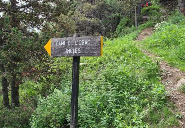
Walking
mouillé