


Bozel - mont de la guerre

XavierFaidix
User

Length
10.8 km

Max alt
2064 m

Uphill gradient
777 m
Km-Effort
21 km

Min alt
1312 m

Downhill gradient
779 m
Boucle
Yes
Creation date :
2021-11-14 09:42:51.769
Updated on :
2021-11-14 15:51:34.133
3h40
Difficulty : Difficult

FREE GPS app for hiking
 SityTrail
IGN / Geographical institutes
SityTrail Plus
The world is yours!
About
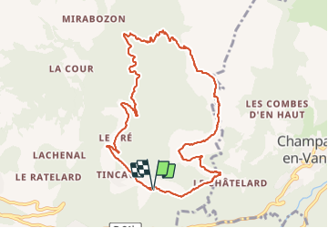
Trail Walking of 10.8 km to be discovered at Auvergne-Rhône-Alpes, Savoy, Bozel. This trail is proposed by XavierFaidix.
Positioning
Country:
France
Region :
Auvergne-Rhône-Alpes
Department/Province :
Savoy
Municipality :
Bozel
Location:
Unknown
Start:(Dec)
Start:(UTM)
317267 ; 5035571 (32T) N.
Comments