


22 km | 40 km-effort


User


FREE GPS app for hiking
 SityTrail
IGN / Geographical institutes
SityTrail World
The world is yours!
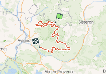
Trail Mountain bike of 316 km to be discovered at Provence-Alpes-Côte d'Azur, Vaucluse, Savoillan. This trail is proposed by denel.
Grande traversée du Luberon
316 kms 9500 D 6 jours 5 nuits
Etape 1 : Savoillan – Malaucène 33.2 km 1000m
Etape du soir au Village Vacances de Leo Lagrange de Vaison la Romaine
Village vacances Vaison-la-Romaine
1212 Chem. de Saumelongue, 84110 Vaison-la-Romaine
vaison@vacancesleolagrange.com
04 89 49 30 67 www.vaison-vacancesleolagrange.com
Etape 2 le mardi 17 mai Vaison-la Romaine- Malaucène-Bédoin 53 Kms 1500 D
Etape le soir à la Maison de Crillon 300 euros la chambre double j’ai réservé 4 chambres
1 Chem. des Carrières de Pierre, 84410 Crillon-le-Brave
Téléphone : 04 90 37 03 17
Restau a réserver ou snacking sur place
La maison de crillon est à 2 kms de sortie du tracé VTT
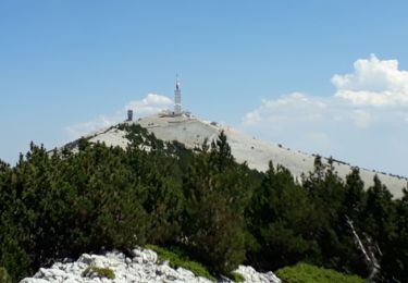
Etape 3 le mercredi 18 mai Crillon le Brave-Bédoin- Sault 54 Kms 1600 D
Hébergement ½ pension Gite Pilpoil , Rude du Barda à Sault
336 euros pour les 6 personnes avec repas et pique nique
J’ai fait la résa contact Beatrice 06 80 62 53 39
https://www.provenceguide.com/hebergements-collectifs/mont-ventoux/gite-detape-pilpoil/provence-4598771-1.html
Etape 4 le jeudi 19 mai Sault-Saint Saturnin les alps 47 kms 990 D
Devis en cours pour Hébergement et diner aux Domaine Les Andeols
Saint-Saturnin-les-Apt, Vaucluse, 84490
Téléphone: 33(0)483883377
Adresse e-mail:info@andeols.com
Etape 5 le vendredi 20 mai Saint Saturnin les alps- Buoux 66 kms 1200 D ? à vérifier par Jérôme
Hébergement Leo Lagrange https://www.buoux-vacancesleolagrange.com/ à voir avec Stéphane
Etape 6 le samedi 21 mai Buoux – Mas Honorat
Walking
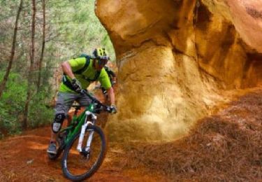
Mountain bike
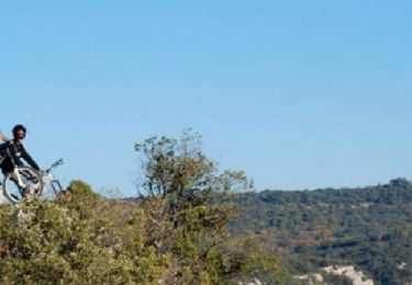
Mountain bike

Cycle
Walking
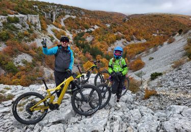
Mountain bike
Walking
Mountain bike
Walking