


RS Montaner 2021

LouisROGER
User GUIDE
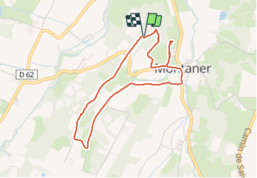

Length
4.4 km

Max alt
343 m

Uphill gradient
101 m
Km-Effort
5.8 km

Min alt
260 m

Downhill gradient
101 m
Boucle
Yes
Creation date :
2021-11-23 13:07:22.487
Updated on :
2021-11-23 15:14:03.108
1h23
Difficulty : Easy

FREE GPS app for hiking
 SityTrail
IGN / Geographical institutes
SityTrail Plus
The world is yours!
About
Trail Walking of 4.4 km to be discovered at New Aquitaine, Pyrénées-Atlantiques, Montaner. This trail is proposed by LouisROGER.
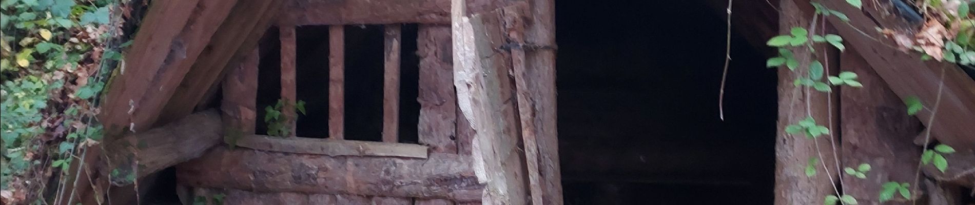
Photos


Positioning
Country:
France
Region :
New Aquitaine
Department/Province :
Pyrénées-Atlantiques
Municipality :
Montaner
Location:
Unknown
Start:(Dec)
Start:(UTM)
742098 ; 4803838 (30T) N.
Comments