


Roc De Gloritte depart Plaugiers 642+

claude nier
User
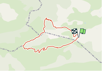

Length
8.4 km

Max alt
1419 m

Uphill gradient
642 m
Km-Effort
17 km

Min alt
797 m

Downhill gradient
650 m
Boucle
Yes
Creation date :
2021-11-26 08:22:00.301
Updated on :
2021-11-26 08:23:05.288
3h52
Difficulty : Easy

FREE GPS app for hiking
 SityTrail
IGN / Geographical institutes
SityTrail Plus
The world is yours!
About
Trail On foot of 8.4 km to be discovered at Provence-Alpes-Côte d'Azur, Hautes-Alpes, Val-Buëch-Méouge. This trail is proposed by claude nier.
Description
petite rando solo
sympa a refaire
Positioning
Country:
France
Region :
Provence-Alpes-Côte d'Azur
Department/Province :
Hautes-Alpes
Municipality :
Val-Buëch-Méouge
Location:
Ribiers
Start:(Dec)
Start:(UTM)
724971 ; 4899210 (31T) N.
Comments