


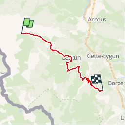


5.4 km | 7.4 km-effort


User


FREE GPS app for hiking
 SityTrail
IGN / Geographical institutes
SityTrail World
The world is yours!
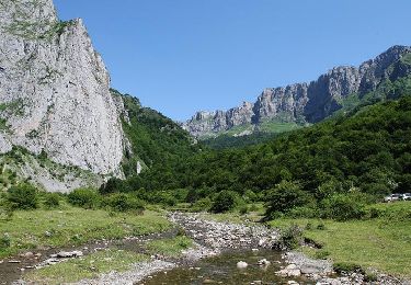
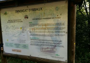
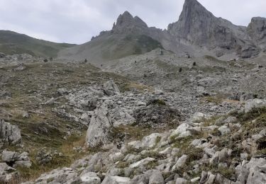
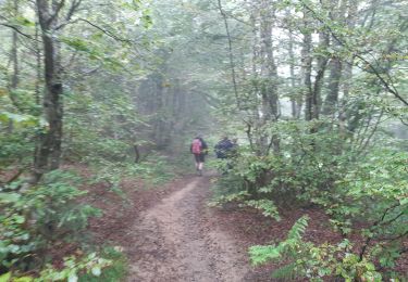
Trail Walking of 18.4 km to be discovered at New Aquitaine, Pyrénées-Atlantiques, Lées-Athas. This trail is proposed by loic09.
Cap de la Baitch/Cabane d'Udapet De Bas

Walking

Walking

On foot
Walking

Walking
On foot

Walking
Walking
On foot