


JFT YB ETAPE 16 14-5-2014

jeff2
User
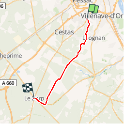

Length
29 km

Max alt
87 m

Uphill gradient
209 m
Km-Effort
31 km

Min alt
22 m

Downhill gradient
159 m
Boucle
No
Creation date :
2014-12-10 00:00:00.0
Updated on :
2014-12-10 00:00:00.0
6h47
Difficulty : Medium

FREE GPS app for hiking
 SityTrail
IGN / Geographical institutes
SityTrail Plus
The world is yours!
About
Trail Walking of 29 km to be discovered at New Aquitaine, Gironde, Gradignan. This trail is proposed by jeff2.
Description
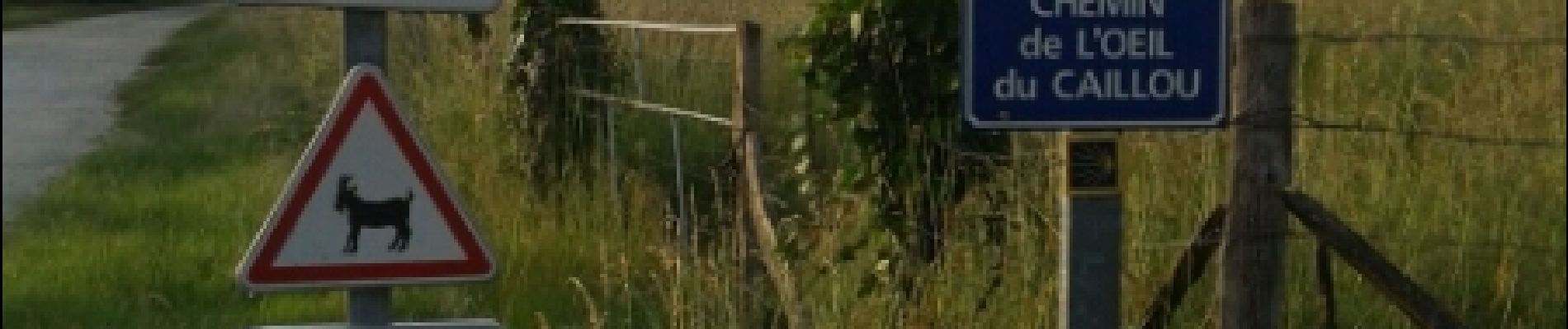
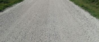
Gradignan à le Barp
Photos


Positioning
Country:
France
Region :
New Aquitaine
Department/Province :
Gironde
Municipality :
Gradignan
Location:
Unknown
Start:(Dec)
Start:(UTM)
688415 ; 4959676 (30T) N.
Comments