


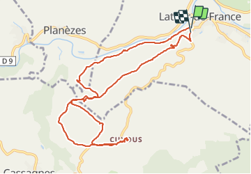

12.6 km | 17 km-effort

User


FREE GPS app for hiking
 SityTrail
IGN / Geographical institutes
SityTrail World
The world is yours!
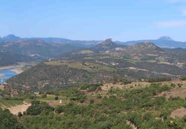
Trail Walking of 12.4 km to be discovered at Occitania, Pyrénées-Orientales, Latour-de-France. This trail is proposed by andre66.
COUXUS CHÂTEAU
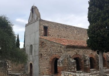
CHAPPELLE SAINT MARTIN


Walking

Walking
Walking
Walking
Walking

Walking

Walking

Walking

Walking