


reducta

Phidel66
User
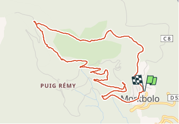

Length
6.9 km

Max alt
879 m

Uphill gradient
287 m
Km-Effort
10.8 km

Min alt
589 m

Downhill gradient
283 m
Boucle
Yes
Creation date :
2021-12-09 13:18:21.714
Updated on :
2021-12-09 16:22:35.353
3h03
Difficulty : Medium

FREE GPS app for hiking
 SityTrail
IGN / Geographical institutes
SityTrail Plus
The world is yours!
About
Trail Walking of 6.9 km to be discovered at Occitania, Pyrénées-Orientales, Montbolo. This trail is proposed by Phidel66.
Description
Romarin
Positioning
Country:
France
Region :
Occitania
Department/Province :
Pyrénées-Orientales
Municipality :
Montbolo
Location:
Unknown
Start:(Dec)
Start:(UTM)
471636 ; 4703715 (31T) N.
Comments