


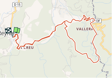
Le Tour de Reynes par le Coll de Bossell

Phidel66
User

Length
7.7 km

Max alt
372 m

Uphill gradient
348 m
Km-Effort
12.3 km

Min alt
211 m

Downhill gradient
346 m
Boucle
Yes
Creation date :
2021-12-11 10:24:04.497
Updated on :
2021-12-11 10:26:29.189
2h48
Difficulty : Difficult

FREE GPS app for hiking
 SityTrail
IGN / Geographical institutes
SityTrail Plus
The world is yours!
About
Trail Walking of 7.7 km to be discovered at Occitania, Pyrénées-Orientales, Reynès. This trail is proposed by Phidel66.
Description
Romarins
Positioning
Country:
France
Region :
Occitania
Department/Province :
Pyrénées-Orientales
Municipality :
Reynès
Location:
Unknown
Start:(Dec)
Start:(UTM)
476065 ; 4702552 (31T) N.
Comments