


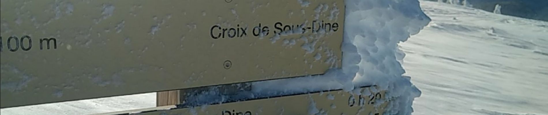
SOUS DINE

leclaude74
User
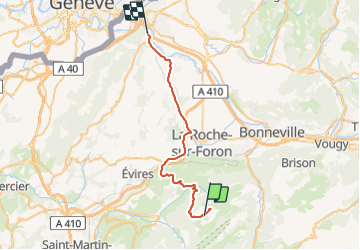

Length
33 km

Max alt
1996 m

Uphill gradient
232 m
Km-Effort
41 km

Min alt
418 m

Downhill gradient
1677 m
Boucle
No
Creation date :
2021-12-12 09:00:57.694
Updated on :
2021-12-12 11:22:51.651
2h21
Difficulty : Very easy

FREE GPS app for hiking
 SityTrail
IGN / Geographical institutes
SityTrail Plus
The world is yours!
About
Trail Touring skiing of 33 km to be discovered at Auvergne-Rhône-Alpes, Upper Savoy, Fillière. This trail is proposed by leclaude74.
Photos


Positioning
Country:
France
Region :
Auvergne-Rhône-Alpes
Department/Province :
Upper Savoy
Municipality :
Fillière
Location:
Thorens-Glières
Start:(Dec)
Start:(UTM)
292093 ; 5097341 (32T) N.
Comments