


9 km | 15.6 km-effort
Fillière: Discover the best trails: 201 hiking trails, 6 bike and mountain-bike routes and 1 equestrian circuits. All these trails, routes and outdoor activities are available in our SityTrail applications for smartphones and tablets.
Walking


Walking

Walking
Walking
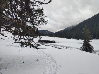
• Beau circuit en boucle dont la difficulté augmente en fonction de l'humidité du sentier et de l'enneigement dans une ...
Walking
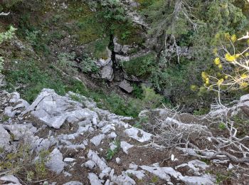
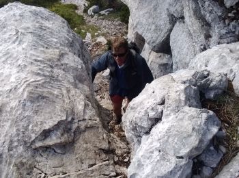
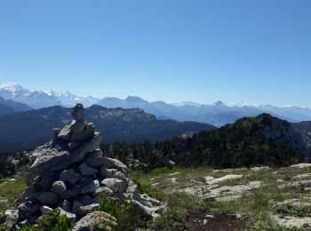
• Pas du roc
Walking
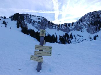
• Départ chalet de l'angletaz, puis descente vers la vallée du pertuis, la remonter jusqu'au col du pertuis, puis remon...
Walking
Snowshoes
Walking
Walking
Walking
Walking
Walking
Walking
Walking
Walking
Snowshoes
Snowshoes
Walking
Walking
20 trails displayed on 261
FREE GPS app for hiking
 SityTrail
IGN / Geographical institutes
SityTrail World
The world is yours!