


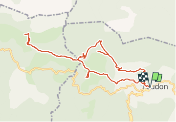

7 km | 13.4 km-effort


User


FREE GPS app for hiking
 SityTrail
IGN / Geographical institutes
SityTrail World
The world is yours!
Trail Walking of 13.3 km to be discovered at Provence-Alpes-Côte d'Azur, Maritime Alps, Toudon. This trail is proposed by GrouGary.
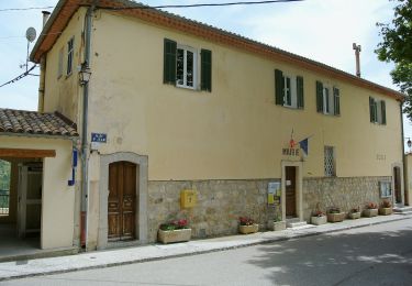
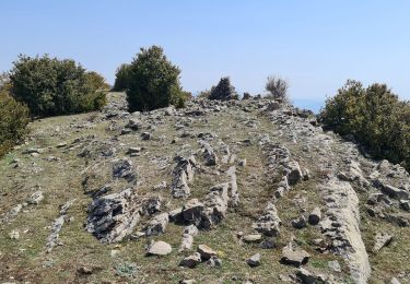
Beau circuit au départ de Toudon avec un A/R pour monter au Mt Brune. Vue à 360° sur les crêtes enneigées du Mercantour, la mer, le Cheiron.
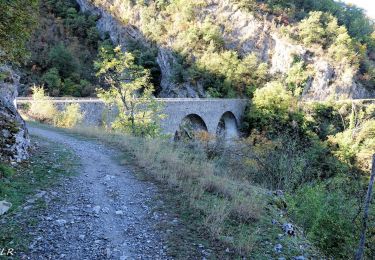
Le retour sur Toudon, après la Baisse des Colettes, est impressionnant sous les falaises.


On foot

Walking

Walking
Walking

On foot
Walking

Walking

Walking

Walking