


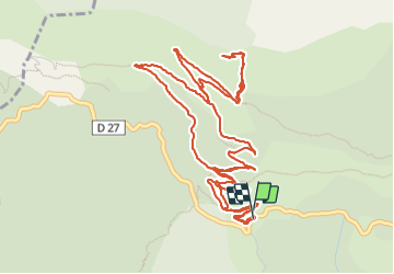

24 km | 46 km-effort

User


FREE GPS app for hiking
 SityTrail
IGN / Geographical institutes
SityTrail World
The world is yours!
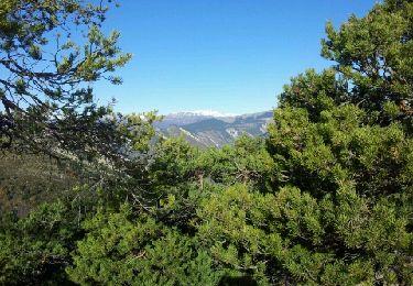
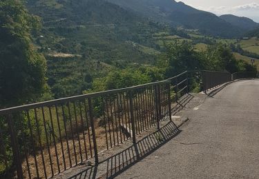
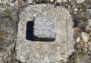
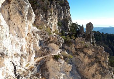
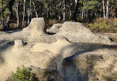
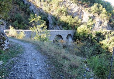
Trail Walking of 8 km to be discovered at Provence-Alpes-Côte d'Azur, Maritime Alps, Pierrefeu. This trail is proposed by Mariephil.
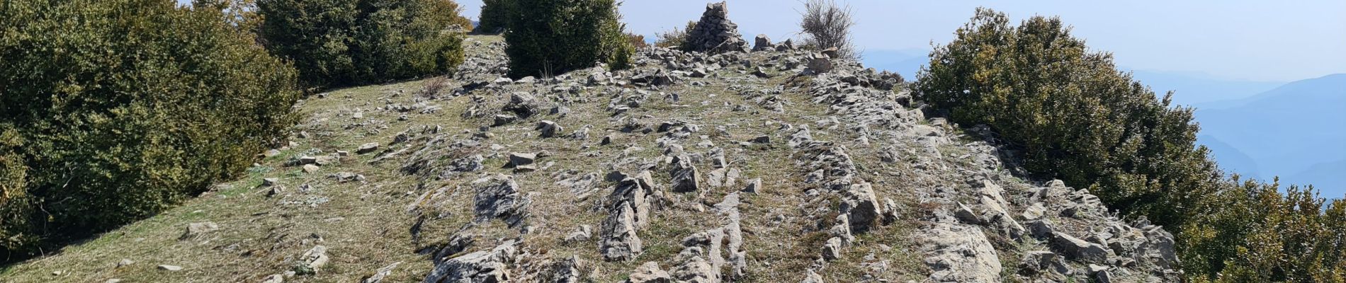
très belle rando super vue à 360


On foot
On foot
Walking
Walking
Walking

On foot
Walking
Walking
Walking