Trail Walking Saint-Bauzille-de-Montmel - stbauzilledemontmel_fontanes_stecroixdequintilllargue - Photo

stbauzilledemontmel_fontanes_stecroixdequintilllargue

 v.rabot
v.rabot

User

© OpenStreetMap contributors
Length
Length
19.9 km
Max alt
Max alt
274 m
Uphill gradient
Uphill gradient
503 m
Km-Effort
Km-Effort  
27 km
Min alt
Min alt
81 m
Downhill gradient
Downhill gradient
504 m
Boucle
Boucle
Yes
Creation date :
2021-12-30 08:13:33.284
Updated on :
2021-12-30 15:36:23.61

(0 Reviews)

Walking
Walking
5h23
Difficulty : Medium

Scan this QR Code to open this trail in the SityTrail application

FREE GPS app for hiking

Logo SityTrail SityTrail

IGN / Geographical institutes

Download SityTrail from the App Store Download SityTrail from Google Play

Logo SityTrail SityTrail World

The world is yours!

Download SityTrail from the App Store Download SityTrail from Google Play Download SityTrail on Huawei AppGallery

About

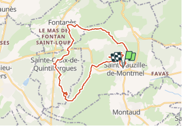
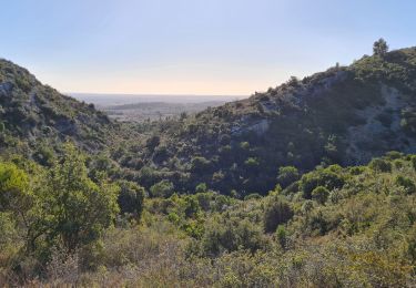
Trail Walking of 19.9 km to be discovered at Occitania, Hérault, Saint-Bauzille-de-Montmel. This trail is proposed by v.rabot.

Description

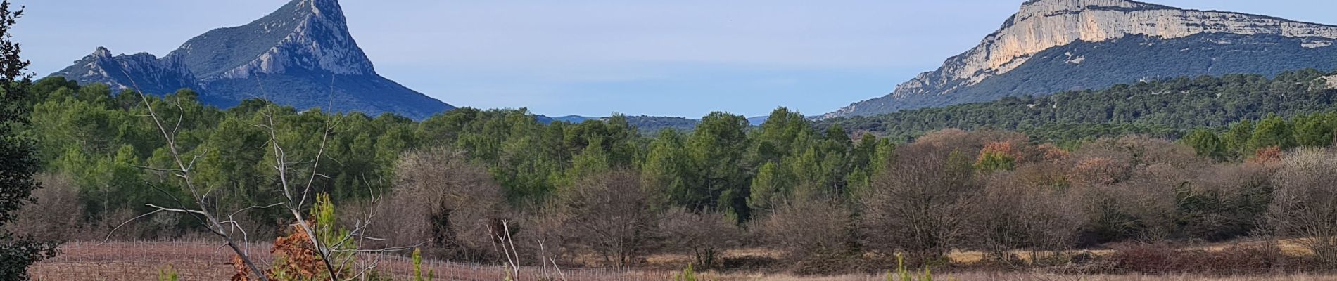
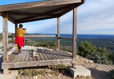
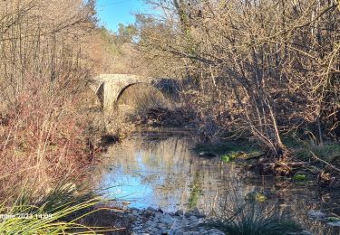
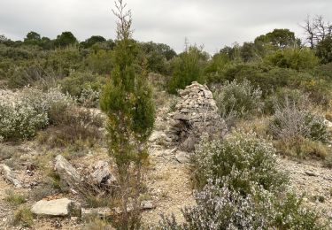
Partant du parking près du cimetière de saint bauzille de Montmel, nous contournons le Puech des mourgues  pour nous rendre à Fontanès, puis sur sainte croix de Quintillargues en passant par la spirale, puis revenons au point de vue du bois de Mounié où on pourra admirer sur le parcours les anciens four à chaud ou les charbonnières  puis retour vers le puech de Mourgues, attention un petit passage de rû où il faut faire attention , dans l'épingle la table d'orientation où on pourra par beau temps voir le canigou, passage aux ruines du couvent et redescente sur le parking.

Elevation profile

Photos

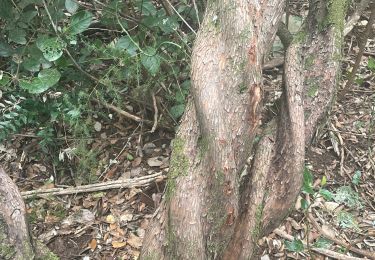
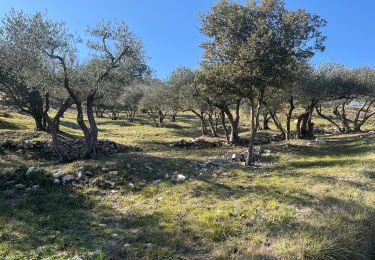
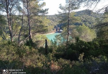
25 photos in total. Please click on a photo to see them all in the gallery.

Positioning

Country:
France
Region :
Occitania
Department/Province :
Hérault
Municipality :
Saint-Bauzille-de-Montmel
Location:
Unknown
Start:(UTM)
576916 ; 4846961 (31T) N.

Trails nearby

Trail Walking Sainte-Croix-de-Quintillargues - Ste Croix de Quintillargues - Photo
Walking
GUIDE
randotines

Walking

Medium
(2)
Sainte-Croix-de-Quintillargues, Occitania, Hérault, France
6.8 km | 8.3 km-effort
1h 48min
Yes
Trail Walking Saint-Bauzille-de-Montmel - Puech des Mourgues - Photo
Walking
Sugg

Walking

Medium
Saint-Bauzille-de-Montmel, Occitania, Hérault, France
4.1 km | 6.1 km-effort
1h 54min
Yes
Trail Walking Vacquières - chapelle D'Aleyrac vers vacquieres parc du duc - Photo
Walking
v.rabot

Walking

Difficult
Vacquières, Occitania, Hérault, France
12.9 km | 15.3 km-effort
3h 28min
Yes
Trail Walking Garrigues - Le bois de Paris - Photo
Walking
daniel34

Walking

Medium
Garrigues, Occitania, Hérault, France
14 km | 18 km-effort
4h 0min
No
Trail Walking Sainte-Croix-de-Quintillargues - St croix de quintillargues Mas du Greffier M’ont la Suque - Photo
Walking
boudpn

Walking

Difficult
Sainte-Croix-de-Quintillargues, Occitania, Hérault, France
10.1 km | 14 km-effort
5h 44min
Yes
Trail Walking Valflaunès - Lancyre en Liberté  - Photo
Walking
boudpn

Walking

Medium
Valflaunès, Occitania, Hérault, France
9.9 km | 11.5 km-effort
4h 33min
Yes
Trail Walking Sainte-Croix-de-Quintillargues - 34 lac de ceceles par la suque26 01 2023  - Photo
Walking
silvestreclaudine

Walking

Very difficult
Sainte-Croix-de-Quintillargues, Occitania, Hérault, France
16.8 km | 23 km-effort
7h 2min
Yes
Trail Walking Saint-Bauzille-de-Montmel - Le puech des Mourgues - Photo
Walking
daniel34

Walking

Medium
Saint-Bauzille-de-Montmel, Occitania, Hérault, France
10.2 km | 14.2 km-effort
3h 6min
Yes
Trail Walking Garrigues - garrigues-Bois et grotte de Paris - Photo
Walking
v.rabot

Walking

Medium
Garrigues, Occitania, Hérault, France
14.2 km | 18.3 km-effort
4h 58min
Yes


Close
My subscriptions