


JFT YB Étape 24 22-5-2014

jeff2
User
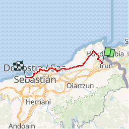

Length
30 km

Max alt
286 m

Uphill gradient
879 m
Km-Effort
42 km

Min alt
-5 m

Downhill gradient
877 m
Boucle
No
Creation date :
2014-12-10 00:00:00.0
Updated on :
2014-12-10 00:00:00.0
6h56
Difficulty : Medium

FREE GPS app for hiking
 SityTrail
IGN / Geographical institutes
SityTrail Plus
The world is yours!
About
Trail Walking of 30 km to be discovered at Autonomous Community of the Basque Country, Gipuzkoa, Irun. This trail is proposed by jeff2.
Description
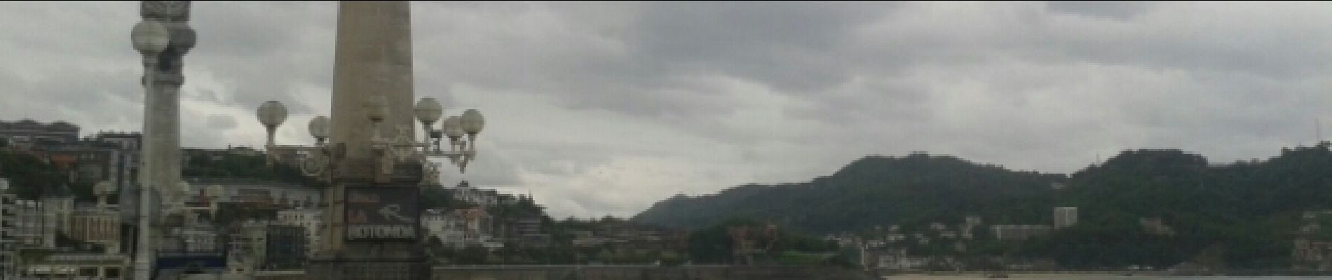
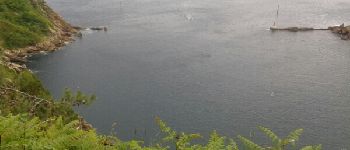
Irun à St Sébastien
Photos


31 photos in total. Please click on a photo to see them all in the gallery.


Positioning
Country:
Spain
Region :
Autonomous Community of the Basque Country
Department/Province :
Gipuzkoa
Municipality :
Irun
Location:
Unknown
Start:(Dec)
Start:(UTM)
597357 ; 4799574 (30T) N.
Comments