


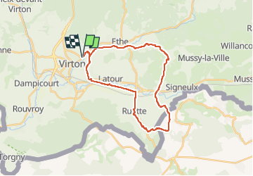


29 km | 35 km-effort

User


FREE GPS app for hiking
 SityTrail
IGN / Geographical institutes
SityTrail World
The world is yours!
Trail Mountain bike of 26 km to be discovered at Wallonia, Luxembourg, Virton. This trail is proposed by Pascal L.
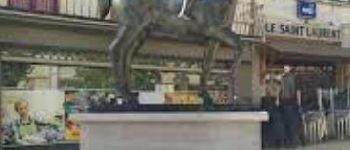
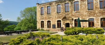
Départ: Virton (Paradis-des-enfants.be)
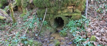
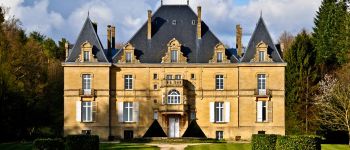
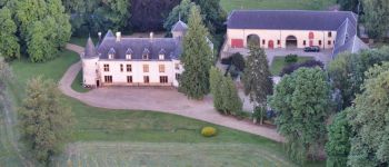
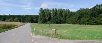
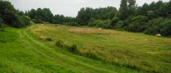
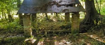
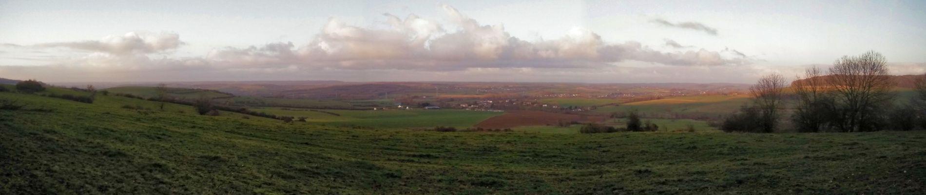
Endroits de passage: Pierrard, Chenois, Ruette, Grandcourt, Champfaye (Les longs jours, la Vieille cöte), panorama depuis la Bourguinette, Buré-la-Ville (FR), Saint-Rémy, Bleid, Ethe, Ravel (ligne 155).
Remarque: quelques belles photos sous la lumière d'un soleil descendant... beau point de vue sur la région de Buré-la-Ville et Saint-Rémy.
Vidéos:
1) https://vimeo.com/665937100
2) https://vimeo.com/665938035
Ref.
- https://fr.wikipedia.org/wiki/Buré-la-Ville
- https://fr.wikipedia.org/wiki/Saint-Pancré
- https://www.mini-ardenne.be/map.card.php?language=fr&id=15
(2022.01.06)


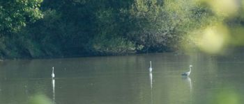
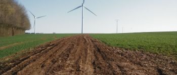
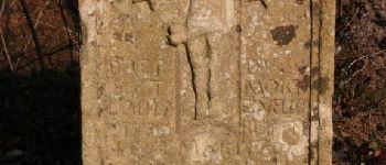
39 photos in total. Please click on a photo to see them all in the gallery.

Walking

Mountain bike

Walking

On foot

On foot

Walking

Walking

Equestrian

Mountain bike