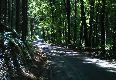
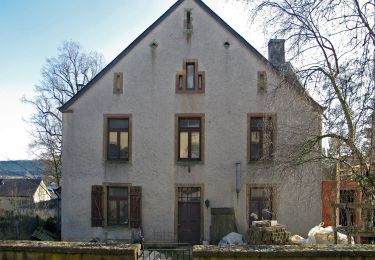
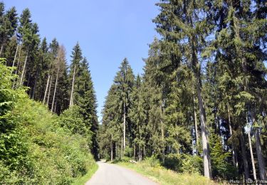
Trail Walking Attert - RB-PN-04C-QR4-15km0_2021-12-31 - Photo

RB-PN-04C-QR4-15km0_2021-12-31

Randonnez sur et autour des GR ® wallons (Sentiers de Grande Randonnée). PRO

© OpenStreetMap contributors
Length
Length
15 km
Max alt
Max alt
395 m
Uphill gradient
Uphill gradient
326 m
Km-Effort
Km-Effort  
19.4 km
Min alt
Min alt
289 m
Downhill gradient
Downhill gradient
332 m
Boucle
Boucle
Yes
Creation date :
2022-01-10 10:32:04.462
Updated on :
2022-01-10 10:32:38.564

(0 Reviews)

Walking
Walking
4h24
Difficulty : Very difficult

Scan this QR Code to open this trail in the SityTrail application

FREE GPS app for hiking

Logo SityTrail SityTrail

IGN / Geographical institutes

Download SityTrail from the App Store Download SityTrail from Google Play

Logo SityTrail SityTrail World

The world is yours!

Download SityTrail from the App Store Download SityTrail from Google Play Download SityTrail on Huawei AppGallery

About

Trail Walking of 15 km to be discovered at Wallonia, Luxembourg, Attert. This trail is proposed by GR Rando.

Points of interest

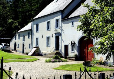
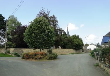
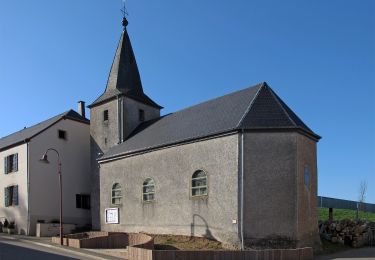
Point of interest Attert - Tontelange - Photo
grsentiers
ATTERT 
Point of interest Attert - Vicinal Arlon Martelange - Photo
grsentiers
Point of interest Arlon - Moulin de Grübermühle - Photo
grsentiers
Point of interest Arlon - Borne frontière - Photo
grsentiers
Point of interest Arlon - Guirsch - Photo
grsentiers
ARLON 

Positioning

Country:
Belgium
Region :
Wallonia
Department/Province :
Luxembourg
Municipality :
Attert
Location:
Unknown
Start:(UTM)
702440 ; 5512010 (31U) N.

Trails nearby

Trail Walking Arlon - Guirsch, vallée des  moulins - Photo
Walking
ulyse

Walking

Very easy
(1)
Arlon, Wallonia, Luxembourg, Belgium
5.8 km | 7.2 km-effort
1h 33min
No
Trail On foot Arlon - Bonnert et la Platinerie - Photo
On foot
PRO

On foot

Easy
Arlon, Wallonia, Luxembourg, Belgium
5.5 km | 7.4 km-effort
1h 40min
Yes
Trail On foot Arlon - N° 9 - Guirsch - Village classé - Photo
On foot
PRO

On foot

Easy
Arlon, Wallonia, Luxembourg, Belgium
6.5 km | 8.8 km-effort
1h 59min
Yes
Trail On foot Ell - Auto-pédestre : Ell - Photo
On foot
PRO

On foot

Easy
Ell, Unknown, Canton Redange, Luxembourg
10.6 km | 13.7 km-effort
3h 6min
Yes
Trail On foot Beckerich - Oberpallen Wanderpfad / FB BL - Photo
On foot
PRO

On foot

Easy
(1)
Beckerich, Unknown, Canton Redange, Luxembourg
8.2 km | 9.8 km-effort
2h 13min
Yes
Trail Walking Arlon - Arlon - Toernich - Arlon  (2012 11 04 ) - Photo
Walking
pinkzebra

Walking

Medium
Arlon, Wallonia, Luxembourg, Belgium
15.2 km | 19.1 km-effort
4h 6min
Yes
Trail On foot Ell - Balade transfrontalière autour château du Colpach - Photo
On foot
GUIDE+

On foot

Easy
Ell, Unknown, Canton Redange, Luxembourg
12.8 km | 16.1 km-effort
3h 39min
Yes
Trail On foot Attert - Post pour tous - Photo
On foot
GUIDE+

On foot

Easy
Attert, Wallonia, Luxembourg, Belgium
9.9 km | 11.9 km-effort
2h 41min
Yes
Trail On foot Arlon - Bonnert - Photo
On foot
GUIDE+

On foot

Easy
Arlon, Wallonia, Luxembourg, Belgium
6 km | 8 km-effort
1h 48min
Yes


Close
My subscriptions