


Meudon- Chaville - Ville d'Avray

chessyca
User GUIDE
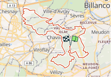

Length
28 km

Max alt
188 m

Uphill gradient
544 m
Km-Effort
35 km

Min alt
72 m

Downhill gradient
546 m
Boucle
Yes
Creation date :
2022-01-23 07:37:35.039
Updated on :
2022-01-23 16:48:18.958
6h03
Difficulty : Difficult

FREE GPS app for hiking
 SityTrail
IGN / Geographical institutes
SityTrail Plus
The world is yours!
About
Trail Walking of 28 km to be discovered at Ile-de-France, Hauts-de-Seine, Meudon. This trail is proposed by chessyca.
Description
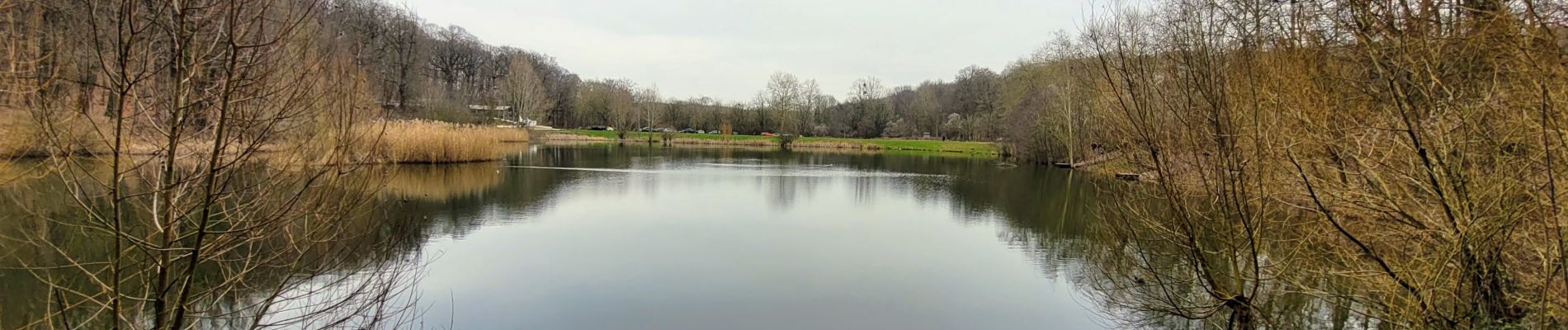
7 étangs , 500 mètres de dénivelés : une rando menée par Roland pour se remettre en forme
Photos


Positioning
Country:
France
Region :
Ile-de-France
Department/Province :
Hauts-de-Seine
Municipality :
Meudon
Location:
Unknown
Start:(Dec)
Start:(UTM)
441661 ; 5405815 (31U) N.
Comments