


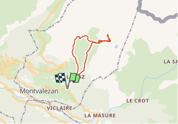

11.8 km | 23 km-effort

User


FREE GPS app for hiking
 SityTrail
IGN / Geographical institutes
SityTrail World
The world is yours!
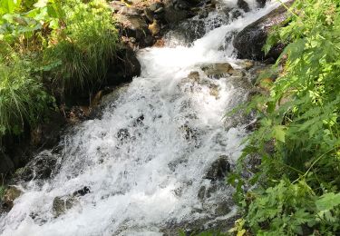
Trail Touring skiing of 12 km to be discovered at Auvergne-Rhône-Alpes, Savoy, Montvalezan. This trail is proposed by nadd73.
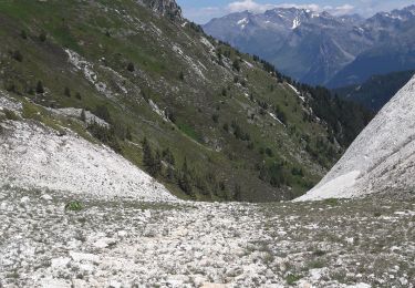
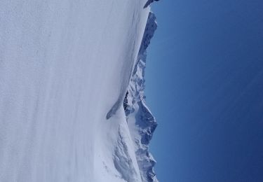
Départ"des moulins" suivre le sentier d'été jusque Plan pigeux, juste avant ce lieu monter le couloir. Prévoir crampons et piolet (si neige dure).
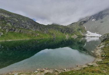
Je me suis arrêtée sur l'arête de la roche Enverse à 2550 m Sinon il faut continuer le long de celle ci jusqu'à 2640. Retour pour éviter le sentier d'été dur et étroit je suis montée pour descendre sur la piste qui mène à Petit Bois.


Walking
Walking
Walking

Walking
Walking
Walking
Walking
Walking
Touring skiing