


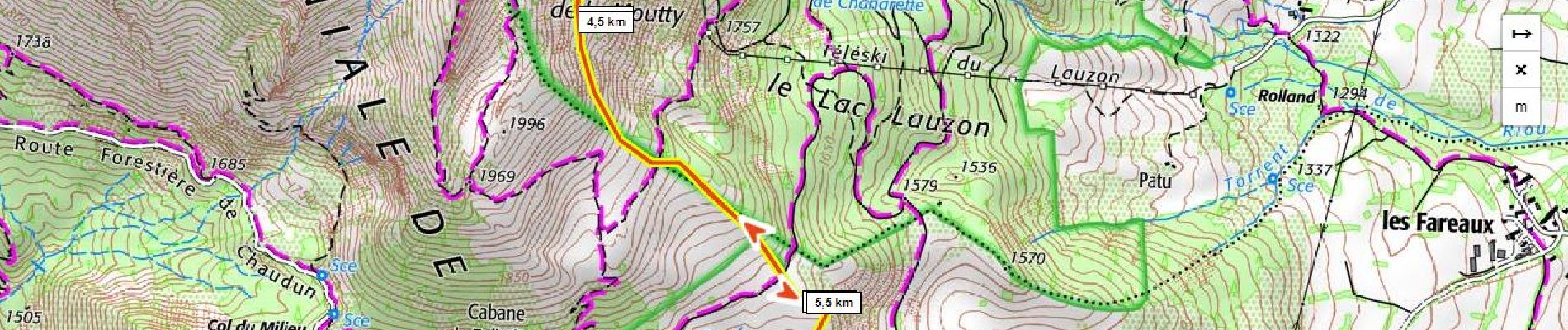
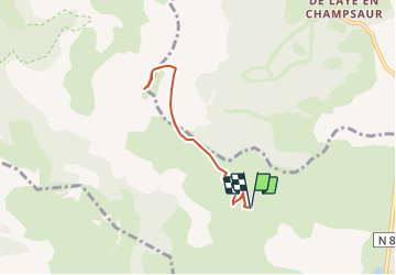
Pic de Gleize D+ 610m acces par le col Bayard

ericberlin
User


4h20
Difficulty : Difficult

FREE GPS app for hiking
 SityTrail
IGN / Geographical institutes
SityTrail Plus
The world is yours!
About
Trail Snowshoes of 6.4 km to be discovered at Provence-Alpes-Côte d'Azur, Hautes-Alpes, Gap. This trail is proposed by ericberlin.
Description
Risques
- avalanches
- chutes sur pente raide pouvant être verglacée
Pente raide nécessitant une bonne expérience des raquettes en terrain difficile.
Départ à la ferme des Vachiers sur la route du Col Bayard au Col de Gleize.
https://meteofrance.com/meteo-montagne/alpes-du-sud/risques-avalanche
Photos

Positioning
Comments