


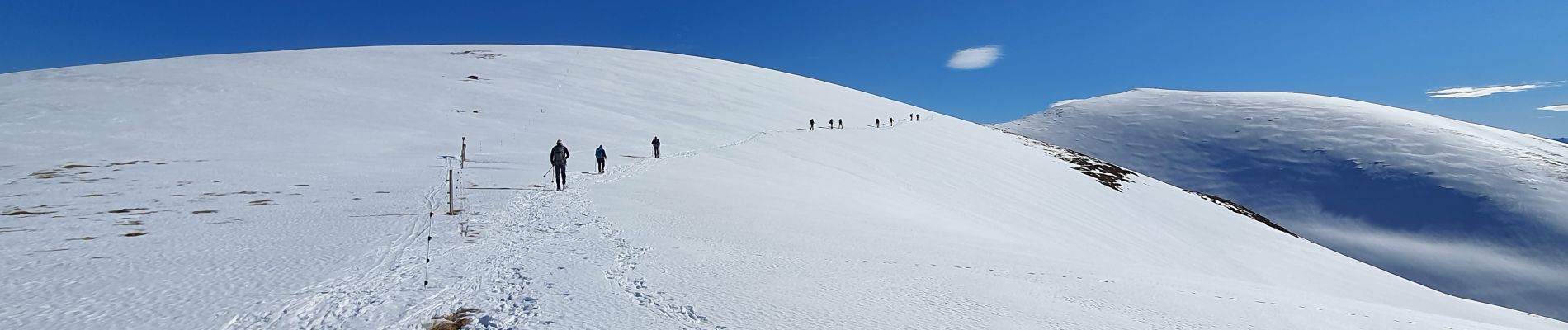
8.9 km | 19.6 km-effort

User


FREE GPS app for hiking
 SityTrail
IGN / Geographical institutes
SityTrail World
The world is yours!
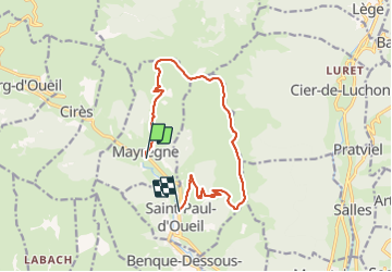
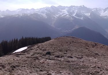
Trail Walking of 13.3 km to be discovered at Occitania, Haute-Garonne, Mayrègne. This trail is proposed by chrisgps.
Il vaut mieux laisser une voiture à St. Paul.
Par temps froid et avec neige : attention à la traversée du ruisseau à Fontaine de Sarrès......ç'est très glissant et dangereux


Walking

Walking
Walking

Walking
Walking
On foot
Walking
Walking
Walking