


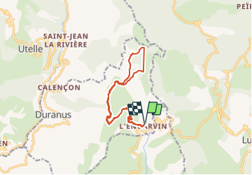

9.9 km | 18.6 km-effort

User


FREE GPS app for hiking
 SityTrail
IGN / Geographical institutes
SityTrail World
The world is yours!
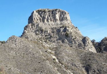
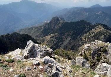
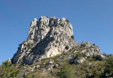
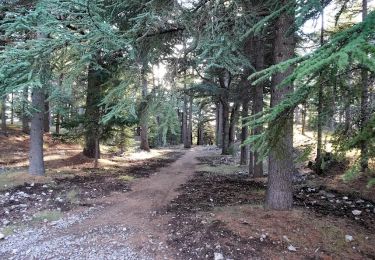
Trail Walking of 15.4 km to be discovered at Provence-Alpes-Côte d'Azur, Maritime Alps, Duranus. This trail is proposed by patsure.
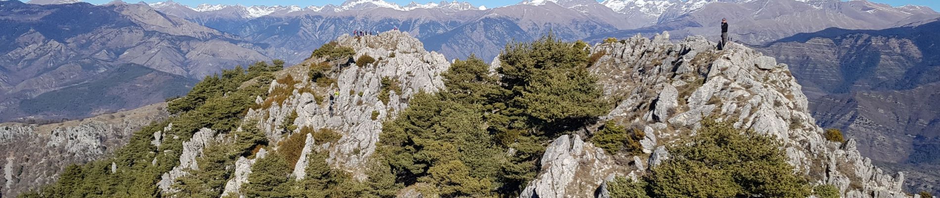
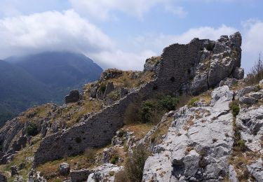
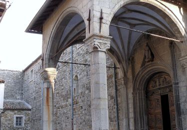
Passage par chapelle St Michel et les ruines de Roca Spaviera
démarrer à 9h45.
retour 17h20


On foot
On foot

Walking
Walking
Walking

On foot
On foot
On foot
Walking