


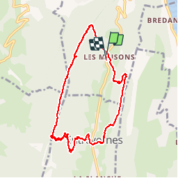

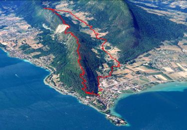
27 km | 31 km-effort


User


FREE GPS app for hiking
 SityTrail
IGN / Geographical institutes
SityTrail World
The world is yours!
Trail Walking of 9.6 km to be discovered at Auvergne-Rhône-Alpes, Upper Savoy, Duingt. This trail is proposed by gebocarm.


Mountain bike
Walking
Walking

Walking

Cycle
Walking
Walking
Walking
Walking
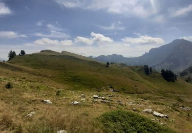
Belle rando en forêt avec quelques points de vue
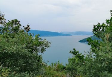
Superbe rando et à l'ombre