


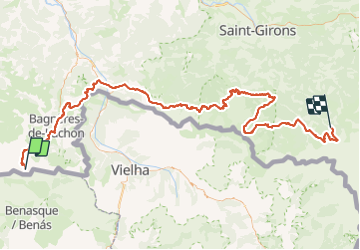

17.4 km | 37 km-effort


FREE GPS app for hiking
 SityTrail
IGN / Geographical institutes
SityTrail World
The world is yours!
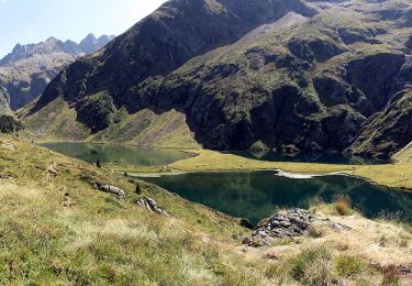
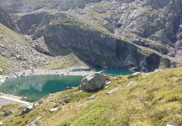
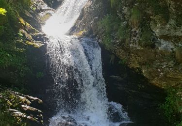
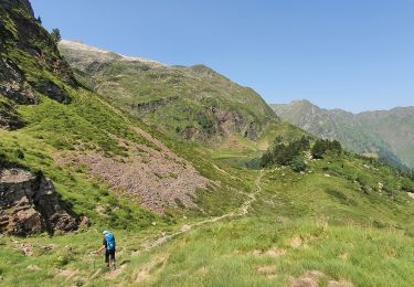
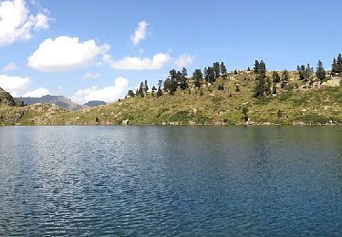
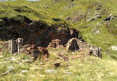
Trail Walking of 176 km to be discovered at Occitania, Haute-Garonne, Oô. This trail is proposed by 000529.442b026dfbf941789147a326e05ea658.0426.

Walking
On foot
Walking
Walking
Walking
On foot
On foot

Walking
Walking