


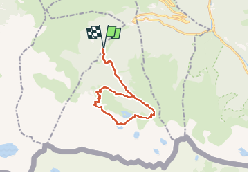

11 km | 16.7 km-effort

User


FREE GPS app for hiking
 SityTrail
IGN / Geographical institutes
SityTrail World
The world is yours!
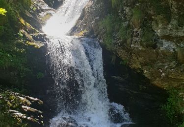
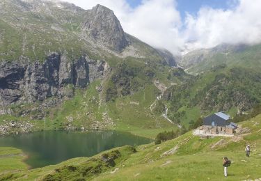
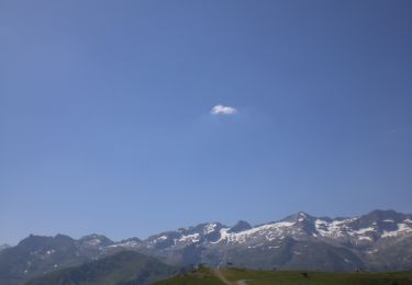
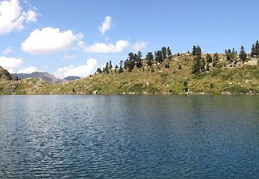
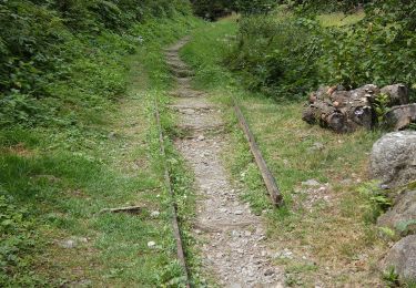
Trail Walking of 15.2 km to be discovered at Occitania, Haute-Garonne, Castillon-de-Larboust. This trail is proposed by chrisgps.
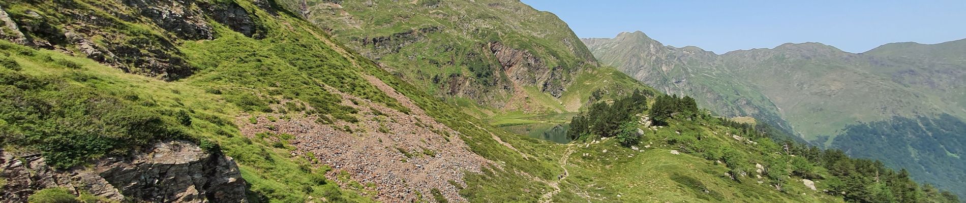
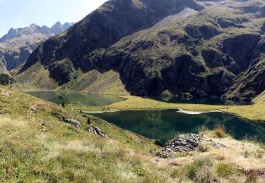
en montant par lac des Graouès


Mountain bike
Walking
On foot

Walking
Walking
Walking
On foot
On foot
On foot