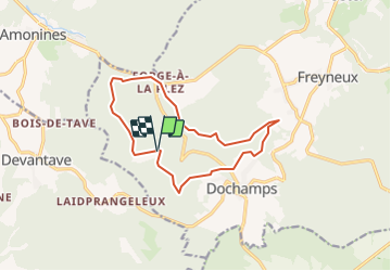

8.3 km | 11.9 km-effort

Randonnées du CGT GUIDE+


FREE GPS app for hiking
 SityTrail
IGN / Geographical institutes
SityTrail World
The world is yours!
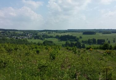
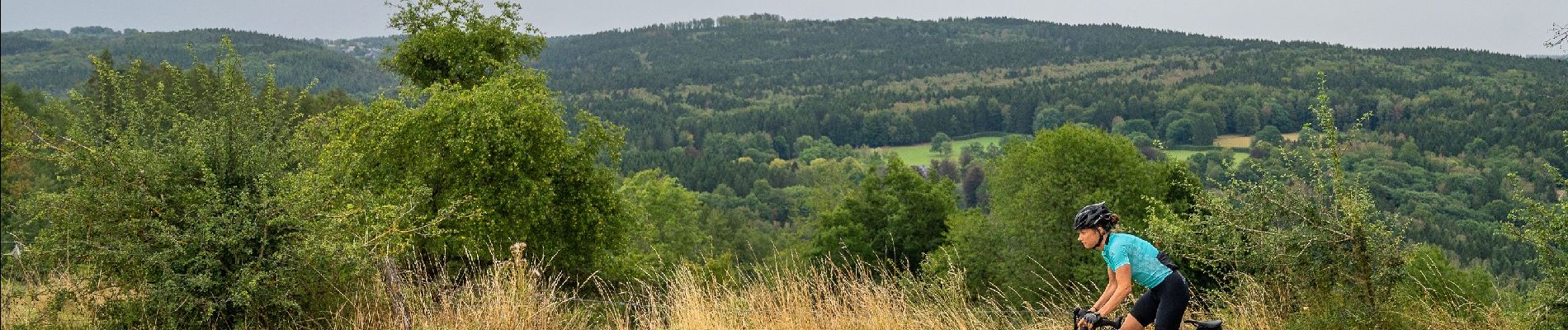
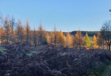
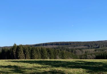
Trail Mountain bike of 11.8 km to be discovered at Wallonia, Luxembourg, Manhay. This trail is proposed by Commissariat général au Tourisme.
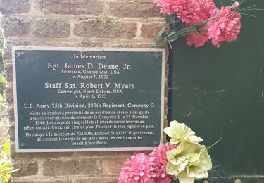
Trail created by Cœur de l'Ardenne, au fil de l'Ourthe & de l'Aisne.

Walking
Walking
Walking
Walking
Walking
Walking
Walking

Walking