


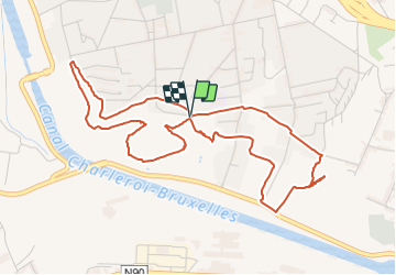

7.8 km | 9.9 km-effort

Randonnées du CGT GUIDE+


FREE GPS app for hiking
 SityTrail
IGN / Geographical institutes
SityTrail World
The world is yours!
Trail On foot of 5.3 km to be discovered at Wallonia, Hainaut, Charleroi. This trail is proposed by Commissariat général au Tourisme.
Trail created by Pays de Charleroi.
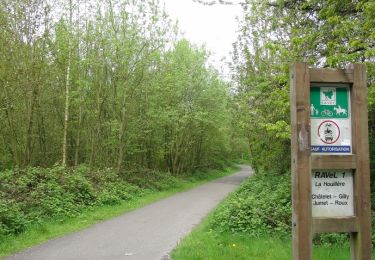
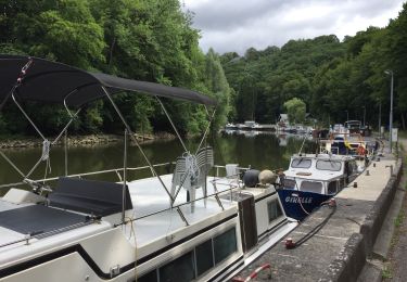
A section of the route leading up to the RAVeL network of greenways is an opportunity for you to warm up before tackling a series of four slag heaps, where you can enjoy an exceptional view of the iron and steelworks.
Only the ascent of the Saint-Théodore slag heap is a bit more of challenge, but if you take a break from time to time, you can certainly rise to the occasion.
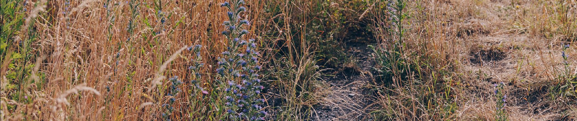
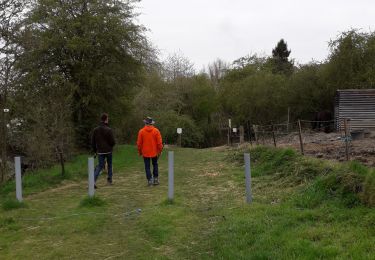
A walking tour that is ideal for families.
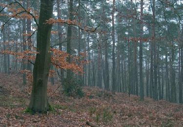
Photographers will appreciate the afternoon light.


Walking

Walking

Walking
Walking

Walking

Walking
Walking
Walking
Walking