


8.2 km | 10.3 km-effort


Randonnées du CGT GUIDE+


FREE GPS app for hiking
 SityTrail
IGN / Geographical institutes
SityTrail World
The world is yours!
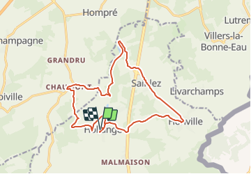
Trail On foot of 15.8 km to be discovered at Wallonia, Luxembourg, Fauvillers. This trail is proposed by Commissariat général au Tourisme.
Trail created by Haute-Süre Forêt d'Anlier en Ardenne.
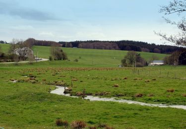
The village of Hollange is situated on a promontory on the presumed site of a Roman villa. It is also known for its mill where flour is produced according to an ancient method. During the walk you will find different churches to admire. The route passes by the lake of the Strange where trout are fished.
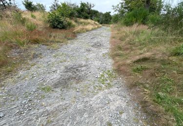
 - Photo 1")
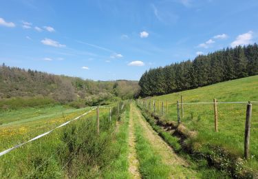
 - Photo 2")
 - Photo 3")
Walking
Walking
Walking

Walking
Walking
Walking
Walking
Walking
On foot