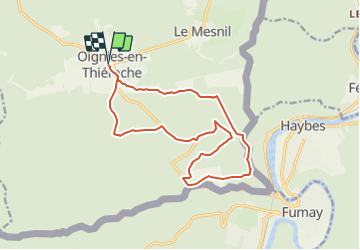

6.4 km | 9.1 km-effort

Randonnées du CGT GUIDE+


FREE GPS app for hiking
 SityTrail
IGN / Geographical institutes
SityTrail World
The world is yours!
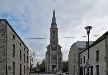
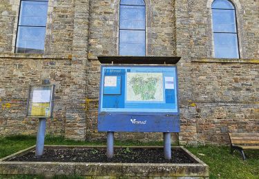
Trail On foot of 14.6 km to be discovered at Wallonia, Namur, Viroinval. This trail is proposed by Commissariat général au Tourisme.
Trail created by Pays des Lacs.
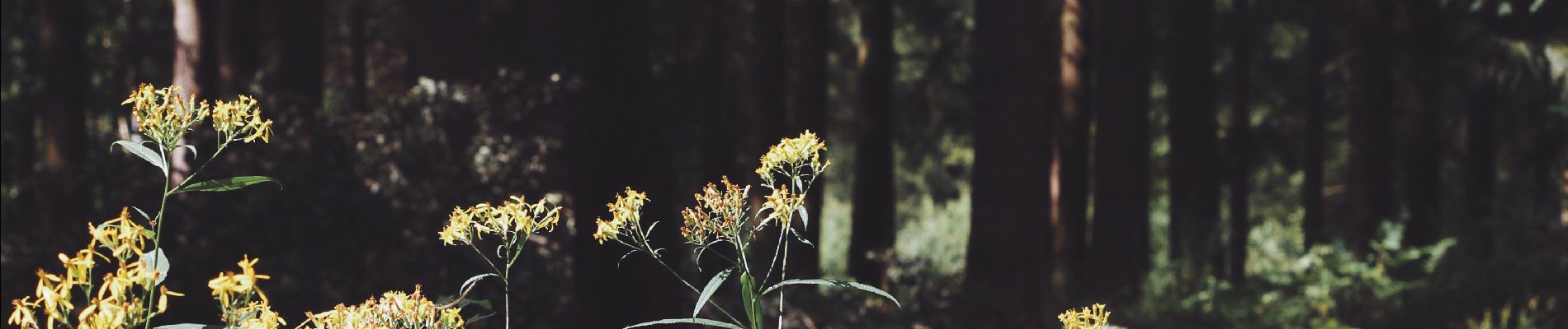
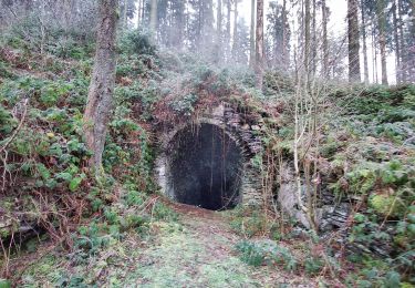
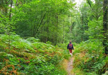
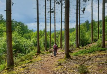
On 7 June 1995, the geographical centre of the EU 15 was in Viroinval. It is located in the place named ‘du Trou du Diable’ (the Devil’s hole) which is an old slate quarry where a glass cathedral was built. A choice of two hikes will take you there. A long 15-km route or the variant that reduces the trail to 9 km. The circuit goes through the woods to a boundary ridge that dominates the French Meuse with its panorama over the river and the towns of Fumay and Haybes. Old slate quarries, which was a flourishing industry until the dawn of the First World War, lie along the route. At the place named ‘Risque-Tout’ (Risk-it-All), you can reduce the hike to 9 km by taking the variant proposed to the right (green cross).


Walking

Walking
Walking
Walking
Walking
On foot
On foot