


5.8 km | 6.3 km-effort


Randonnées du CGT GUIDE+


FREE GPS app for hiking
 SityTrail
IGN / Geographical institutes
SityTrail World
The world is yours!
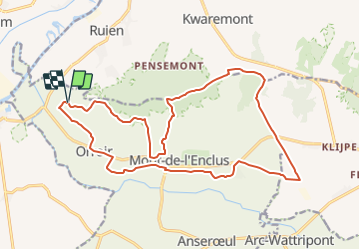
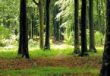
Trail On foot of 18.6 km to be discovered at Wallonia, Hainaut, Mont-de-l'Enclus. This trail is proposed by Commissariat général au Tourisme.
Trail created by Wallonie Picarde (Antenne Tournai) .


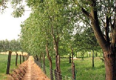
On foot
Equestrian

Mountain bike

On foot

Equestrian

On foot
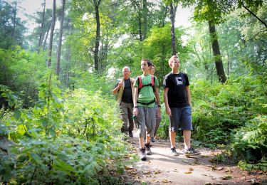
On foot
On foot

On foot