


3.5 km | 4.7 km-effort


Randonnées du CGT GUIDE+


FREE GPS app for hiking
 SityTrail
IGN / Geographical institutes
SityTrail World
The world is yours!
Trail On foot of 9.7 km to be discovered at Wallonia, Hainaut, Ham-sur-Heure-Nalinnes. This trail is proposed by Commissariat général au Tourisme.
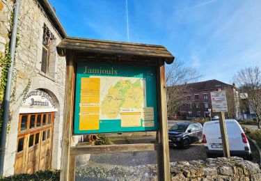
Trail created by Pays des Lacs.
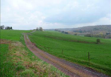
The bandstand in the square, which dates back to 1907, is a famous site in Nalinnes. It forms a beautiful architectural ensemble with the Maison Forte, which is listed as a historical Walloon heritage monument thanks to its three distinct constructions dating from the 11th century to the 19th century, as well as the Gothic Notre-Dame de la Visitation church, which was erected at the end of the 16th century. Château Monnom is also located here. Today, it serves as the municipal library. Starting from the centre, the walk primarily follows paths through fields and small roads. You can see several chapels on the route leading to Bultia.


Walking

Walking

Walking
Walking
Walking
Walking
Walking

Mountain bike
Walking