


col ouillat. pic neoulos 321m 3km montee

Erius
User
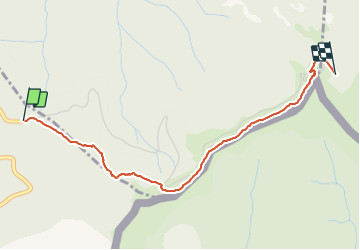

Length
3.2 km

Max alt
1250 m

Uphill gradient
321 m
Km-Effort
6.4 km

Min alt
936 m

Downhill gradient
22 m
Boucle
No
Creation date :
2022-02-09 09:38:25.043
Updated on :
2022-02-09 14:44:43.861
3h48
Difficulty : Medium

FREE GPS app for hiking
 SityTrail
IGN / Geographical institutes
SityTrail Plus
The world is yours!
About
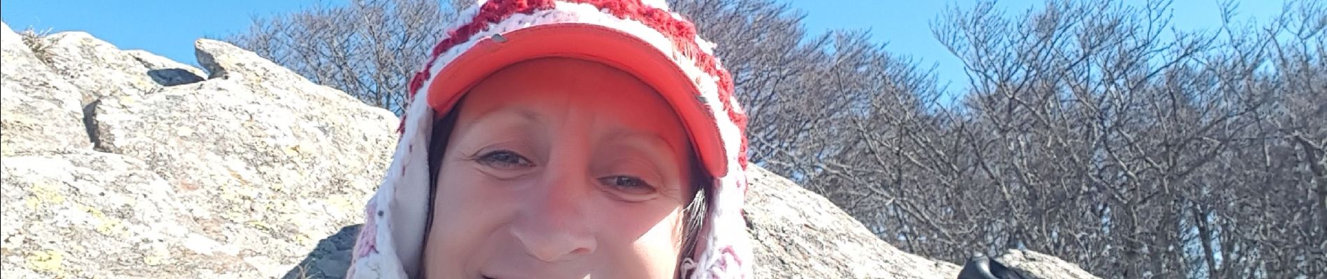
Trail Walking of 3.2 km to be discovered at Occitania, Pyrénées-Orientales, L'Albère. This trail is proposed by Erius.
Photos

Positioning
Country:
France
Region :
Occitania
Department/Province :
Pyrénées-Orientales
Municipality :
L'Albère
Location:
Unknown
Start:(Dec)
Start:(UTM)
493596 ; 4702993 (31T) N.
Comments