


24 km | 31 km-effort

Tous les sentiers balisés d’Europe PRO


FREE GPS app for hiking
 SityTrail
IGN / Geographical institutes
SityTrail World
The world is yours!
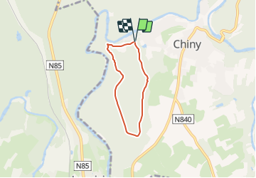
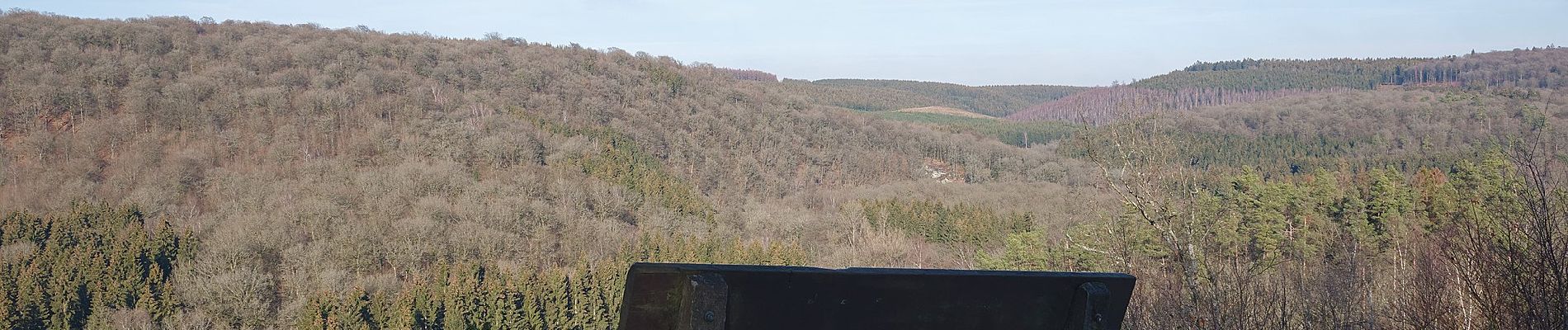
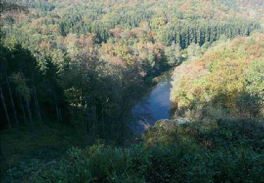
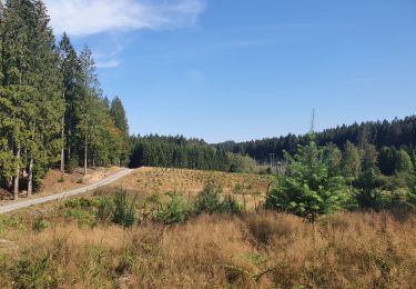
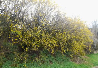
Trail On foot of 4.2 km to be discovered at Wallonia, Luxembourg, Chiny. This trail is proposed by SityTrail - itinéraires balisés pédestres.
Trail created by Maison du Tourisme du Pays de la Semois entre Ardenne & Gaume.


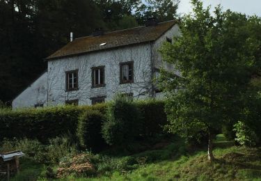
Walking
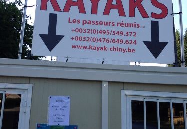
Walking
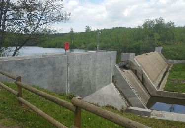
Walking
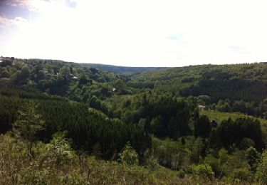
Walking
Walking
Walking

Walking
Walking

Walking