


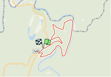

18.6 km | 25 km-effort

Tous les sentiers balisés d’Europe PRO


FREE GPS app for hiking
 SityTrail
IGN / Geographical institutes
SityTrail World
The world is yours!
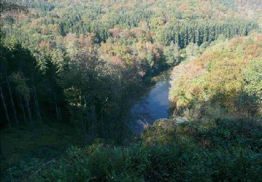
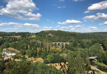
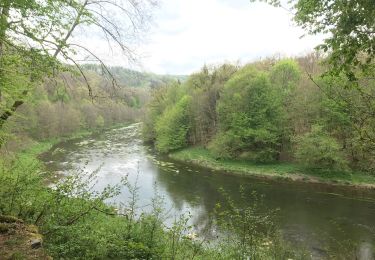
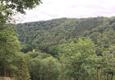
Trail On foot of 6.7 km to be discovered at Wallonia, Luxembourg, Florenville. This trail is proposed by SityTrail - itinéraires balisés pédestres.
Trail created by Syndicat d'initiative de Florenville.
chemins d'accès et liants inclus; balisage est très incomplet et embrouillant

Walking
Walking
Walking
Walking

Walking
Walking

Walking

Running
Walking