Trail On foot Menin - Erfgoedwandelroute Menen - Photo

Erfgoedwandelroute Menen

Tous les sentiers balisés d’Europe GUIDE+

© OpenStreetMap contributors
Length
Length
4 km
Max alt
Max alt
22 m
Uphill gradient
Uphill gradient
23 m
Km-Effort
Km-Effort  
4.3 km
Min alt
Min alt
10 m
Downhill gradient
Downhill gradient
23 m
Boucle
Boucle
Yes
Signpost
Signpost
Creation date :
2022-02-09 19:00:05.033
Updated on :
2022-02-09 19:00:05.033

(0 Reviews)

On foot
On foot
58m
Difficulty : Easy

Scan this QR Code to open this trail in the SityTrail application

FREE GPS app for hiking

Logo SityTrail SityTrail

IGN / Geographical institutes

Download SityTrail from the App Store Download SityTrail from Google Play

Logo SityTrail SityTrail World

The world is yours!

Download SityTrail from the App Store Download SityTrail from Google Play Download SityTrail on Huawei AppGallery

About

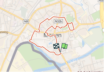
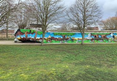
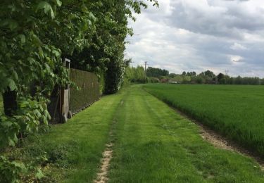
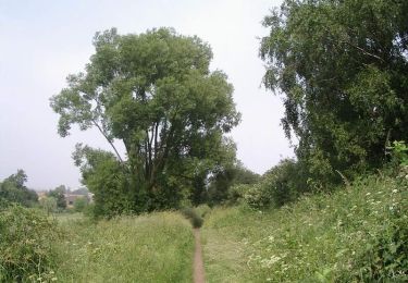
Trail On foot of 4 km to be discovered at Flanders, West Flanders, Menin. This trail is proposed by SityTrail - itinéraires balisés pédestres.

Description

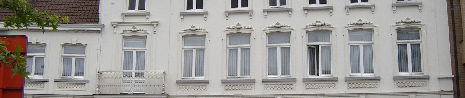
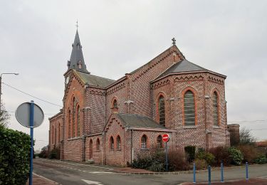
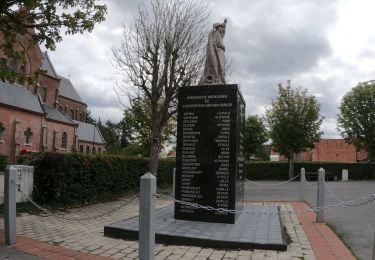
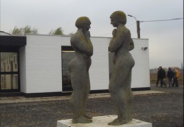
Deze wandeling neemt je mee in Menen langs onder meer de resten van de Hollandse vestingswerken, militaire gebouwen, het classicistische stadhuis, een statige brouwerswoning en de neoclassicistische Sint-Vedastuskerk.

Elevation profile

Photos

Positioning

Country:
Belgium
Region :
Flanders
Department/Province :
West Flanders
Municipality :
Menin
Location:
Menin
Start:(UTM)
508690 ; 5626780 (31U) N.

Trails nearby

Trail On foot Menin - Smokkelaarspad - Photo
On foot
GUIDE+

On foot

Easy
Menin, Flanders, West Flanders, Belgium
10.3 km | 11.2 km-effort
2h 32min
Yes
Trail On foot Menin - Kortewagenpad Lauwe - Photo
On foot
GUIDE+

On foot

Easy
Menin, Flanders, West Flanders, Belgium
13 km | 14.4 km-effort
3h 16min
Yes
Trail Walking Halluin - Halluin par le bout du monde (Deulémont) - Photo
Walking

Walking

Medium
Halluin, Hauts-de-France, Nord, France
32 km | 34 km-effort
6h 12min
No
Trail Walking Menin - SityTrail - Compostelle - Nord 2 - Photo
Walking
Pacotille

Walking

Very difficult
Menin, Flanders, West Flanders, Belgium
67 km | 73 km-effort
16h 18min
No
Trail Walking Menin - DKP2013 - Photo
Walking
MeresseMario

Walking

Very easy
(3)
Menin, Flanders, West Flanders, Belgium
7.7 km | 8.4 km-effort
1h 38min
No
Trail Walking Bousbecque - Circuit des Auger de Bousbecque - Photo
Walking
tracegps

Walking

Medium
(1)
Bousbecque, Hauts-de-France, Nord, France
13.3 km | 14.5 km-effort
3h 19min
Yes
Trail Walking Halluin - Du Kluit Put à la Lys - Halluin - Photo
Walking
tracegps

Walking

Difficult
Halluin, Hauts-de-France, Nord, France
14 km | 15.3 km-effort
3h 30min
Yes
Trail Walking Halluin - Boucle de la fraude du tabac - Halluin - Photo
Walking
tracegps

Walking

Medium
(2)
Halluin, Hauts-de-France, Nord, France
9.3 km | 10.1 km-effort
2h 19min
Yes
Trail Walking Menin - Milpattes - 19112012 - Photo
Walking
jacques.moulin@hotmail.com

Walking

Very easy
Menin, Flanders, West Flanders, Belgium
7.7 km | 8.3 km-effort
1h 49min
Yes


Close
My subscriptions