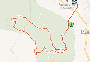

5.2 km | 6.8 km-effort


User


FREE GPS app for hiking
 SityTrail
IGN / Geographical institutes
SityTrail World
The world is yours!
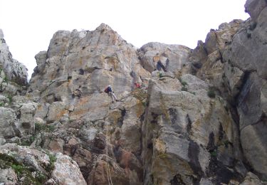
Trail Walking of 4.1 km to be discovered at Andalusia, Malaga, Antequera. This trail is proposed by nolsim.