


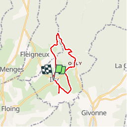

7.9 km | 9.9 km-effort


User


FREE GPS app for hiking
 SityTrail
IGN / Geographical institutes
SityTrail World
The world is yours!
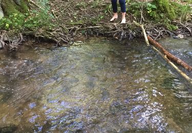
Trail Walking of 9.3 km to be discovered at Grand Est, Ardennes, Illy. This trail is proposed by Geronimo2010.
Le sentier du bois Talot

Walking

Walking

Mountain bike
Nordic walking
On foot

Mountain bike
Walking

Mountain bike

Mountain bike