


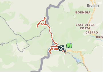

14.4 km | 24 km-effort

User


FREE GPS app for hiking
 SityTrail
IGN / Geographical institutes
SityTrail World
The world is yours!
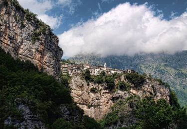
Trail Walking of 16 km to be discovered at Liguria, Imperia, Pigna. This trail is proposed by patsure.
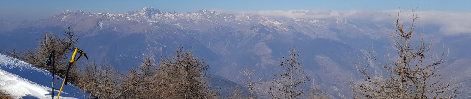
12/2/2022 Rando OVS de Felipe
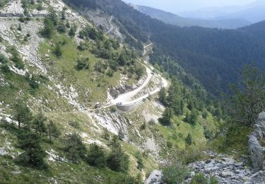
700m de dénivelé, 16km.
Départ Colla Melosa (1545m) - refuge Grai (1948m) - Col Bertrand (1960m) - prendre l'AVML (Alta Via dei Monti Liguri) - Cima de Marta (2137m) - retour idem au Col Bertrand - retour à Colla Melosa par la Piste Garezzo puis le sentiero degli Alpini, et enfin le sentier Innamorati.


On foot

Walking
Walking
Walking