


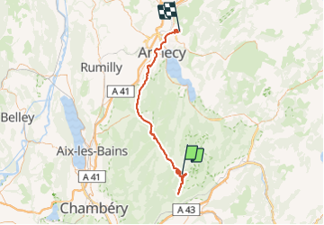

13.1 km | 24 km-effort


User


FREE GPS app for hiking
 SityTrail
IGN / Geographical institutes
SityTrail World
The world is yours!
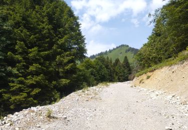
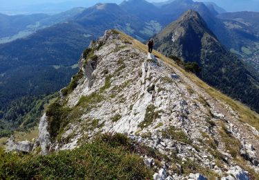
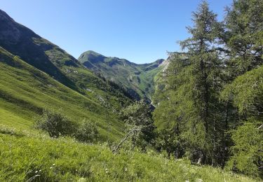
Trail Snowshoes of 70 km to be discovered at Auvergne-Rhône-Alpes, Savoy, École. This trail is proposed by olivecoco.
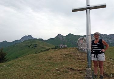
en raquettes mieux vaut faire en AR par parking des Arolles, sentier raide et glacé au dessus du couvent
Walking

Walking

Walking
Walking
Walking
Walking
Walking
Walking
Walking