


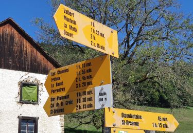
7.3 km | 10.2 km-effort

Tous les sentiers balisés d’Europe PRO


FREE GPS app for hiking
 SityTrail
IGN / Geographical institutes
SityTrail World
The world is yours!
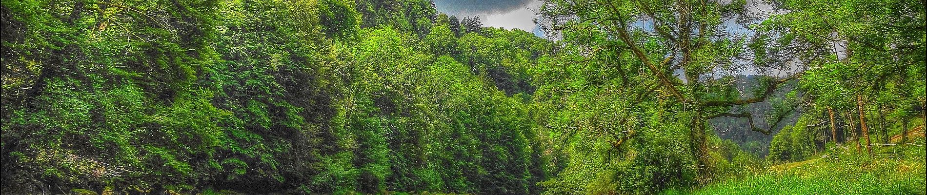
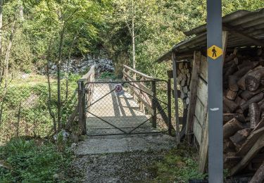
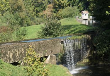
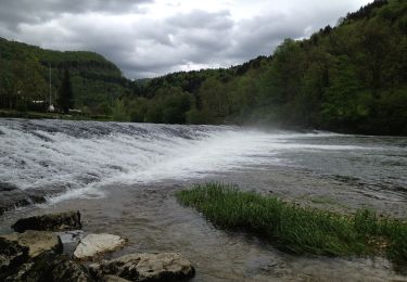
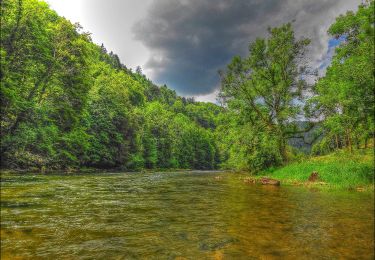
Trail On foot of 4.1 km to be discovered at Jura, District des Franches-Montagnes, Saint-Brais. This trail is proposed by SityTrail - itinéraires balisés pédestres.
Tariche - Pont de Ravines
Symbol: gelber Diamant


On foot
On foot
On foot
On foot
On foot
On foot
On foot
On foot
On foot