Trail On foot Ansó - Senda de Camille 7 (Linza-Oza) - Photo

Senda de Camille 7 (Linza-Oza)

Tous les sentiers balisés d’Europe PRO

© OpenStreetMap contributors
Length
Length
14.9 km
Max alt
Max alt
2016 m
Uphill gradient
Uphill gradient
742 m
Km-Effort
Km-Effort  
25 km
Min alt
Min alt
1139 m
Downhill gradient
Downhill gradient
946 m
Boucle
Boucle
No
Signpost
Signpost
Creation date :
2022-02-14 15:01:30.503
Updated on :
2022-02-14 15:01:30.503

(0 Reviews)

On foot
On foot
5h46
Difficulty : Medium

Scan this QR Code to open this trail in the SityTrail application

FREE GPS app for hiking

Logo SityTrail SityTrail

IGN / Geographical institutes

Download SityTrail from the App Store Download SityTrail from Google Play

Logo SityTrail SityTrail World

The world is yours!

Download SityTrail from the App Store Download SityTrail from Google Play Download SityTrail on Huawei AppGallery

About

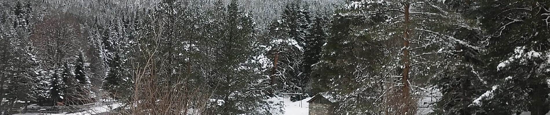
Trail On foot of 14.9 km to be discovered at Aragon, Huesca, Ansó. This trail is proposed by SityTrail - itinéraires balisés pédestres.

Description

La Senda de Camille es una travesía circular por etapas en el Parque Natural de los Valles Occidentales y Parque Nacional de los Pirineos (Francia).

Website: http://www.lasendadecamille.com/index.php

Photos

Positioning

Country:
Spain
Region :
Aragon
Department/Province :
Huesca
Municipality :
Ansó
Location:
Unknown
Start:(UTM)
679647 ; 4751852 (30T) N.

Trails nearby

Trail Walking Ansó - GR 11 ETAPE 9 SUD - Photo
Walking
phelan

Walking

Very difficult
Ansó, Aragon, Huesca, Spain
14.5 km | 28 km-effort
6h 20min
No


Close
My subscriptions