


Valbonnais Refuges Font Turbat

Orcal37
User GUIDE
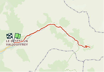

Length
22 km

Max alt
2178 m

Uphill gradient
954 m
Km-Effort
34 km

Min alt
1244 m

Downhill gradient
953 m
Boucle
Yes
Creation date :
2014-12-10 00:00:00.0
Updated on :
2021-09-21 18:45:10.513
6h15
Difficulty : Difficult

FREE GPS app for hiking
 SityTrail
IGN / Geographical institutes
SityTrail Plus
The world is yours!
About
Trail Walking of 22 km to be discovered at Auvergne-Rhône-Alpes, Isère, Valjouffrey. This trail is proposed by Orcal37.
Description
Valbonnais - Le Désert en Valjouffrey - Refuges de Font Turbat
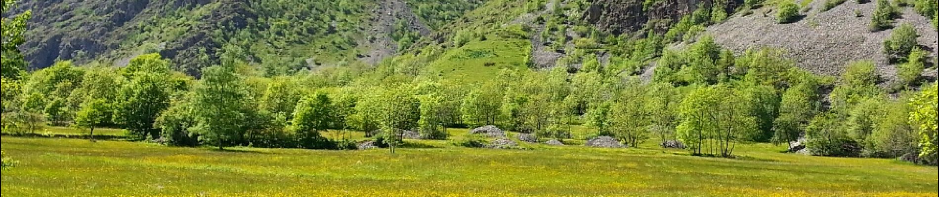
Photos


Positioning
Country:
France
Region :
Auvergne-Rhône-Alpes
Department/Province :
Isère
Municipality :
Valjouffrey
Location:
Unknown
Start:(Dec)
Start:(UTM)
269892 ; 4972527 (32T) N.
Comments